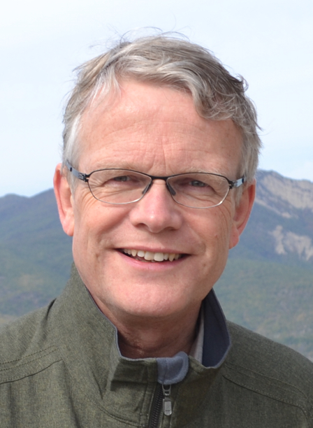
Prof., President of ICA Menno-Jan Kraak, University of Twente
Keynote: Maps supporting a sustainable world

Biography
Menno-Jan Kraak graduated in Cartography from Faculty of Geographical Sciences, Utrecht University. In1983 he started to work at Faculty of Geodesy, Delft University of Technology as (senior) lecturer in Cartography. There he got his PhD in 1988. In 1996 he started at ITC as professor in Geovisual Analytics and Cartography (as of 2010 University of Twente). Currently he is head of ITC’s Geo-Information Processing Department, and Principle Investigator of the ITC research program Spatio-Temporal Analytics, Maps and Processing (STAMP) and member of the Twente Graduate School. He is also chair of the Foundation Scientific Atlas of the Netherlands.
He wrote more than 200 publications on cartography and GIS. His most visible publications are books on aspects of cartography: Cartography, visualization of geospatial data (with Ormeling) and published by Routeledge and Guildford Press (translated in 5 languages), Webcartography, developments and prospects (editor with Brown) published by Taylor & Francis, and Exploring Geovisualization (edited with Dykes and MacEachren) published by Elseviers. Recently a new book titled 'Mapping time, illustrated by Minard's map of Napoleon's invasion into Russia 1812' was published by ESRI Press.
He is a member of the editorial board of several international journals in the field of Cartography and GIScience (International Journal of Cartography, The Cartographic journal, Journal of Maps, Cartographica, Cartography and Geographical Information Sciences International Journal of Applied Earth Observation and Geoinformation, Kartographische Nachrichten).
He is President of the International Cartographic Association (ICA) for the period 2015-2019. Before he was Vice-President since 2007, National Delegate and has been (co-)chair of the Commission on Visualization and Virtual Environments (1995-2007).
http://www.itc.nl/personal/kraak/
Abstract
Maps supporting a sustainable world Maps play a unique and important role in our society. Maps are the interface to our geospatial data. They are serious in helping to find our way, in providing insight in patterns and trends, and support decision making. They are fun too, the can be beautiful, and the let use dream about far away and exotic places. In our international community the International Cartographic Association has created an environment where knowledge about maps, cartography and GIScience can be exchanged to make sure the above challenges can be met. It offers its expertise and knowledge of technical developments to other organizations via events, meetings, workshops, and publications. With its Commissions and Working Groups it concentrates it activities on wide range of topics that nearly cover the whole discipline.
A good example of the relevance of cartography are the activities of the working group ’Cartography for Global Geographic Information Management’ which aims to demonstrate how maps can support reaching the new Sustainable Development Goals by showing good cartographic practice, and this links very well to the current International Map Year. Each of these goals has a specific objective. For each goal a number of targets have been set, and to see if those targets are met multiple indicators have been defined. These indicators can be mapped, as individual variable or in combination with each other. During the International Map Year ICA will create a set of ‘posters’, one for each goal that demonstrates how maps can help to get insight in these goals. The plan is not just to create a single map for each goal. The idea is to offer different cartographic perspectives on these goals via story maps. These perspectives are offered by our Commissions. Each of the 17 goals has been adopted by two Commissions and together these will map a goal based on their skills set.
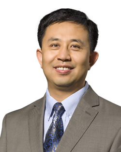
Prof. Shaowen Wang University of Illinois at Urbana-Champaign (UIUC), the National Center for Supercomputing Applications (NCSA) for CyberGIS
Keynote: Big Data, CyberGIS, and Geospatial Data Science


Biography
Shaowen Wang is a Professor of Geography and Geographic Information Science at the University of Illinois at Urbana-Champaign (UIUC), where he is named a Centennial Scholar. He is also Associate Director of the National Center for Supercomputing Applications (NCSA) for CyberGIS, and Founding Director of UIUC’s CyberGIS Center for Advanced Digital and Spatial Studies. He was a visiting scholar at Lund University sponsored by the National Science Foundation (NSF) in 2006 and NCSA Fellow in 2007, and received the NSF CAREER Award in 2009. He received his BS in Computer Engineering from Tianjin University in 1995, MS in Geography from Peking University in 1998, and MS of Computer Science and PhD in Geography from the University of Iowa in 2002 and 2004 respectively.
His research and teaching interests include geographic information science and systems (GIS), advanced cyberinfrastructure and cyberGIS, complex environmental and geospatial problems, computational and data sciences, high performance parallel and distributed computing, and spatial analysis and modeling. He has served as the principal investigator of several multi-institution NSF projects for advancing cyberGIS and related scientific problem solving.
He has published many peer-reviewed papers including articles in more than 20 journals. He is a past President of the International Association of Chinese Professionals in Geographic Information Sciences (CPGIS), and also served as the Chair of CPGIS Board. He served on the University Consortium for Geographic Information Science (UCGIS) Board of Directors from 2009 to 2012, and currently is President-Elect of UCGIS. He is a current member of the Board on Earth Sciences and Resources of the U.S. National Academies.
http://www.cigi.illinois.edu/shaowen
Abstract
CyberGIS represents an interdisciplinary field combining advanced cyberinfrastructure and e-science, geographic information science and systems (GIS), spatial analysis and modeling, and a number of geospatial domains (e.g., emergency management, public health, and smart cities) to enable broad scientific and technological advances. It has also emerged as new-generation GIS based on holistic integration of high-performance and distributed computing, data-driven knowledge discovery, visualization and visual analytics, and collaborative problem-solving and decision-making capabilities. The growing importance of cyberGIS is reflected by increasing calls for solutions to bridge the significant digital divide between advanced cyberinfrastructure and geospatial communities in the big data era. This presentation discusses challenges and opportunities for cyberGIS and geospatial data science to empower geospatial discovery and innovation through interdisciplinary approaches.
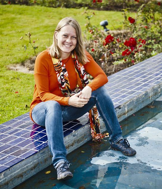
Adj.Prof. Niina Käyhkö Ph.D., Senior Lecturer in geoinformatics, University of Turku, Department of Geography and Geology, Finland
Keynote: Global South in front of a huge geospatial development potential: opportunities for Higher Education Institutions (HEI) competence and expertise

Biography
Niina Käyhkö has PhD in Geography. She has been a Senior Lecturer in Geoinformatics at the Department of Geography and Geology of the University of Turku, Finland since 2002 and Adjunct Professor in Landscape Geography since 2008. Her principal research and education expertise is in the uses and development of geospatial methods in landscape land change analyses, landscape service and participatory GIS mapping, land use planning and GIS networking.
She has been running several research and education projects related to geospatial applications and capacity and competence development in GIS. She is a founding member of Fiuginet – Finnish University Network of Geoinformatics in 2008 and has been in the board of regional SDI of Southwest Finland, Lounaispaikka, since 2002. Therefore has been networking in national geospatial education with other universities, government and private sector for many years.
During the recent decade, her work has shifted substantially to research, education and development cooperation in Tanzania, where her specific interest has been on top of research and education work to identify and materialize synergies and expertise coming from the academia with the needs of the government and private sector actors in GIS issues. This work has been very much of collaboration between actors both in Finland and Tanzania with international partners.
http://www.utu.fi/fi/yksikot/sci/yksikot/maageo/yhteystiedot/henkilokunta/Kayhko/Sivut/home.aspx
Abstract
There are growing interests towards the status and development of higher education institutions’ geospatial capacities due to the societies’ urgent needs to manage spatial information sustainably. Last decades have shown how rapidly information societies have diversified and how our economies, decision-making and well-being in its multitude of aspects have become dependent of fluent access to reliable and up-to-date spatial information. Rapidly developing Global South is facing practical challenges in finding sustainable spatial data management solutions for the benefit of the society, since these developments are penetrating to the societies at a speed and manner, which is incomparable to what Global North has experienced. Access to geographical data is a key to knowledge prosperity and innovations, but it is a crucial if such knowledge remains in the hands of external stakeholders and if competent people, knowledgeable of their own societies, are able to be educated, employed and networked in their own countries. The science and practice of using geospatial information is rooting its way into Higher Education Institutions and their curricula world-wide, but creating sustainable education and competence development solutions is much more than a curricula. This key note shares practical experiences of geospatial education and expertise development in the Global South, especially in Tanzania, and discusses the roles and opportunities of HEIs in future geospatial development.
